Welcome to LocalWiki for Menomonie. This is a non-profit, collaborative effort to connect local people with shared interests, share knowledge about the community, and highlight unique aspects of our area.
Everyone can edit this website. You can edit this or any page by clicking the Edit button at the top. To create a new page, enter a page name in the "Search Menomonie" box above, if you don't find a page, the wiki will offer to let you make one! Or you can click on the "Add a new page" button. There are many ways you can contribute.
Click on Explore at the top to see what pages currently exist on the wiki.
Have a suggestion for pages that need to be made?Email us or contact the Menomonie Wiki Facebook group: https://www.facebook.com/groups/menomoniewiki/.
Community
Featured Page
The Red Cedar State Trail, one of several popular natural and recreational attractions in Menomonie, extends from the Red Cedar Valley in Dunn County to the Chippewa River State Trail in Eau Claire County. The trail is 14.5 miles long, starting just west of the UW-Stout campus and ending near Durand, when it crosses the Chippewa River and meets the Chippewa Trail. During warm weather the trail is available for people to walk, jog, or bike on the converted limestone surface. In the winter, when there is snow on the ground, the trail is groomed for cross country skiing.
To use the trail, you should buy a trail pass at the Visitor Center or whichever access point you start from.
You can find more information about the trail from the WDNR or the Friends of the Red Cedar Trail.
History

The trail is a Rails to Trails trail, established on a historical rail line called the Red Cedar Junction. In the late 1800s, this rail line was run by the Knapp, Stout & Co, Company, which at the time, was the largest lumber producing company in the world. Prior to 1973, when the line was no longer in operation, the line carried freight and lumber. Later, after the abandonment of the Red Cedar Junction, the Wisconsin Department of Natural Resources (WDNR) took over for the purpose of preservation and also for the transformation into a natural attraction open to the public.
The Red Cedar State Trail was named after the beginning point of the trail itself, which is the Red Cedar Valley also located in Menomonie. Today this trail runs through the communities of Menomonie, Irvington, and Downsville and along the way exhibits its natural diversity through its various species of plants and animals. Not only do people visit this attraction to be immersed in nature but also to do recreational activities including walking and bicycling, canoeing and kayaking, winter activities, and hunting.
Credit to Emi Stuemke's English classes for beginning to collect information on Menomonie's History.
.JPG/_info/)
 Trailhead sign marking transition from city to state trail (Photo: Emi Stuemke)
Living Here:
People & Organizations:
Assistance:
-
Abuse, Addiction, Dunn County UW-Extension, Health Services, Legal Help, Low Income Support, Mental Health
City & County Resources:
Culture
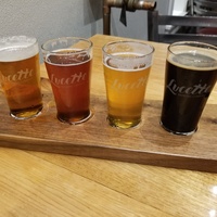
Food & Drink:
Arts & Entertainment:
History:
-
James Huff Stout, Dunn County Historical Society, Lumber Trade, Dunn County's First People, Harry Miller,
Outdoor Life:
Visiting Menomonie:
You can contribute to the wiki! Not sure what to add? Try looking at our Getting Started page for suggestions. Need help? Please see the help page on the LocalWiki Guide!
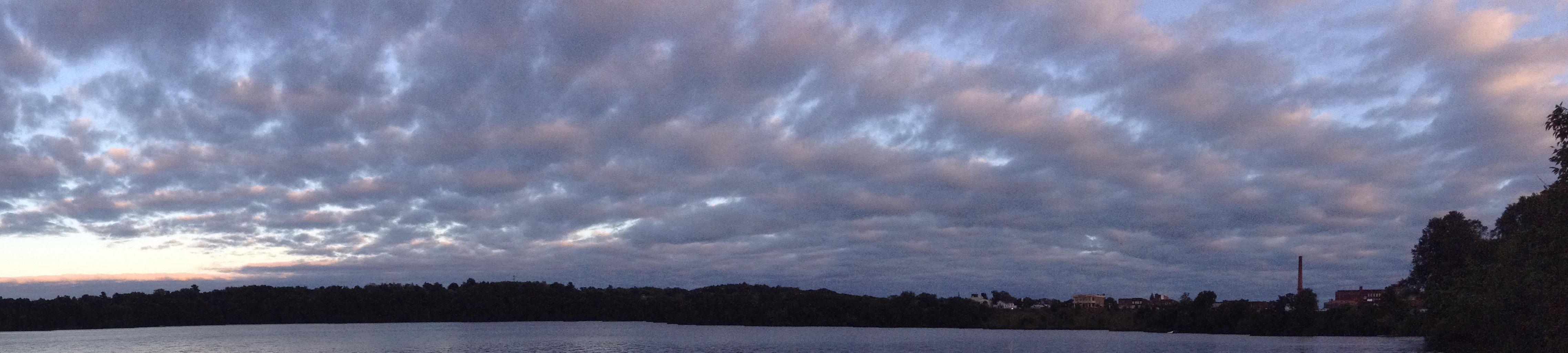
(Cover photo taken by Kneppmel29, retrieved from wikimedia commons.)
Some interesting pages

Explore nearby regions
Or maybe you want to see all LocalWiki regions?

